Quick Quote
GRAB YOURSELF A QUICK QUOTATION HERE.
If we dont have what you need here, contact us and we can get you a pricing tailored for your site.
Floor Plan Pricing Calculator
Calculate the cost of your custom floor plans based on building size, plan type, and printing options
Plan Details
Price Breakdown
How It Works
1. Select your building size - square footage shown in brackets.
2. Choose the type of floor plan you need.
3. Select digital only or physical print options.
4. For physical prints, choose material, size, and quantity.
5. Click "Calculate" to see your total price.
All prices are in GBP and exclude VAT.
Contact us for custom sizes or special requirements.
How does it work?

Survey
Ommateum conducts full LiDAR based site surveys to capture every dimension of your property with engineering grade accuracy.
Our surveyors visit your building in person, scanning the entire space with the same precision standards used in construction and technical design.
The outcome is a high fidelity digital model,a true to reality floor plan that captures structural detail, spatial relationships, and critical features with millimetre level accuracy.
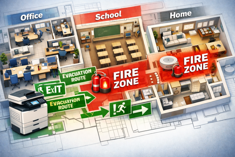
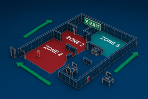
This level of precision ensures your fire zone plans, evacuation route maps, and operational layouts aren’t just visually correct they’re compliant, audit‑ready, and built on verified data.

A Bit Techy
LiDAR (Light Detection and Ranging) is an advanced surveying technology that uses high frequency laser pulses to measure distances with extreme precision. By timing how long each laser pulse takes to reflect off surfaces and return to the sensor, LiDAR creates a detailed 3D “point cloud” of your space. This data captures the exact geometry of walls, floors, and structural features, allowing complex areas to be surveyed quickly and converted into accurate, compliant floor plans with minimal margin for error.
The Benefits
Exceptional Accuracy – Millimetre level measurements reduce human error and ensure reliable dimensions.
Faster Site Surveys – Complex spaces can be captured in a fraction of the time compared to manual methods.
Detailed Spatial Data – Irregular layouts, multiple levels, and hard to reach areas are recorded with ease.
Consistency & Compliance – Digital measurements support modern building, planning, and regulatory standards.
Future-Ready Data – The data captured allows floor plans to be revisited, verified, or updated without re-measuring on site.